Main menu:
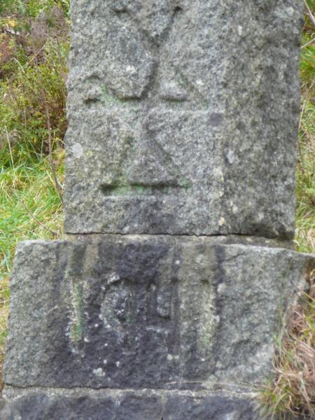
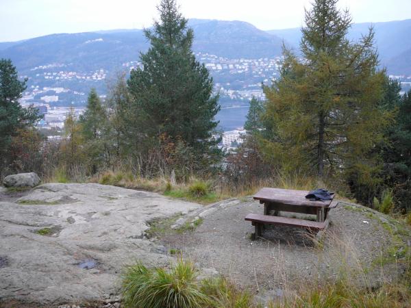
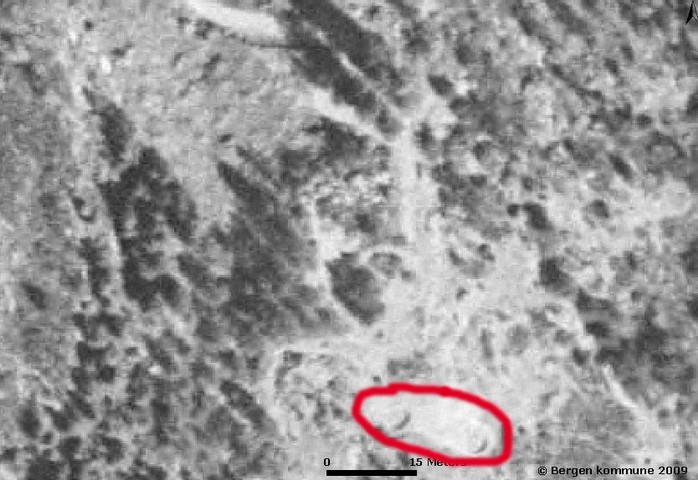
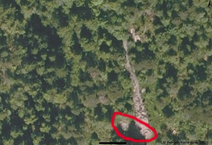
The path "Skillingsbollen" which leads to the summit of Løvstakken, passes two Word War 2 remains. Where the winding road starts up the mountain, the year 1941 and an emblem have been chiselled into some stones. At the end of the road there are two round concrete platforms, which according to some web sites, used to be guns positions. Today there are benches on these platforms.
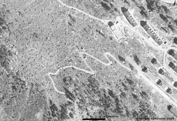
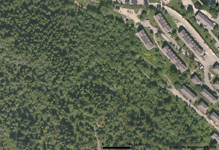
In the aerial photo from 1951, the winding road can clearly be seen, whilst in the photo from 2005, vegetation had covered most of the mountainside almost hiding the road. The gun positions can clearly be seen were the road ends and the path starts both in 1951 and 2005.
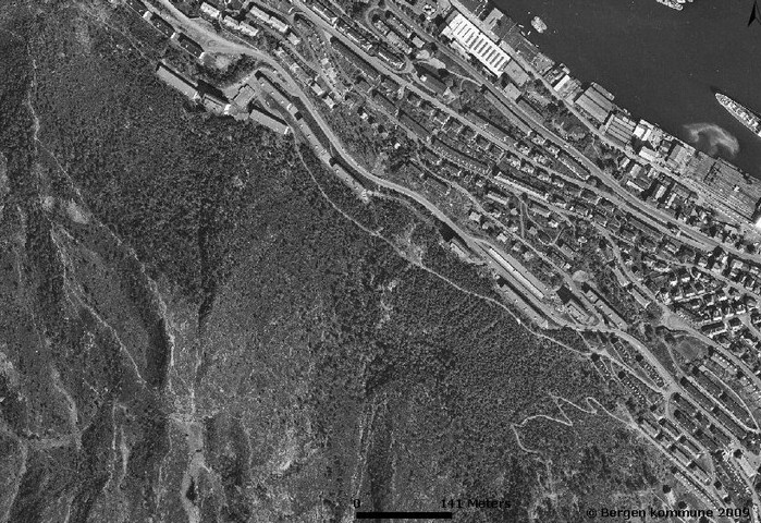
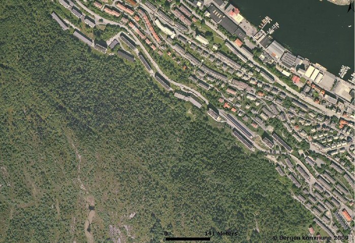
A solidly built road leads westwards from the starting point of the winding road. This road can be clearly seen on the aerial photo from 1951. By 1970 the road ends rather abruptly among some blocks of flats, and by 2005 the vegetation had more or less hidden the road. If this road was ever used by motorised vehicles is difficult to say. Today it is very popular with people walking their dogs.